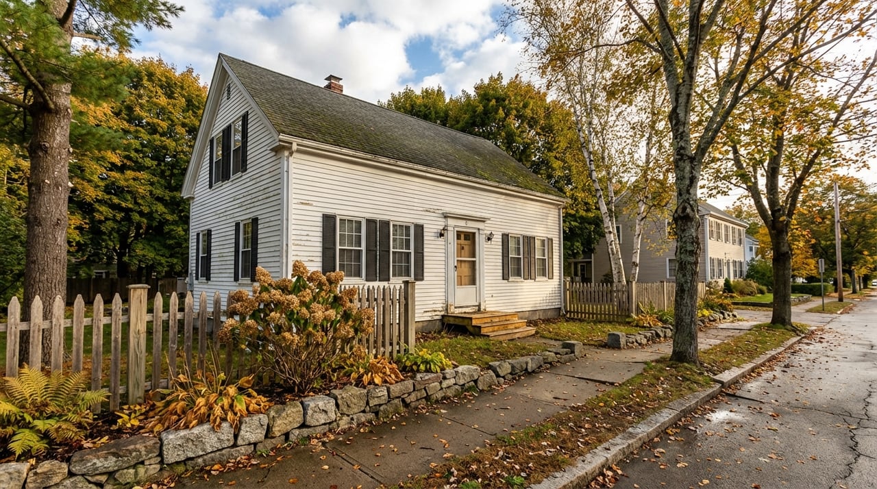
Thinking about buying a wooded parcel in Thetford or elsewhere in the Upper Valley and wondering what it really takes to build? You’re smart to ask now. Rural land can look perfect on a map, but permits, access, wetlands, and utilities will decide what you can actually do. In this guide, you’ll learn the permitting basics for Thetford and nearby Vermont towns so you can plan with confidence, avoid surprises, and move forward on the right timeline. Let’s dive in.
Start with local zoning
Your first stop is the town office. In Thetford, the Zoning Administrator and the Development Review Board (DRB) apply the town’s zoning bylaws and plan. Zoning sets the rules for allowed uses, minimum lot size, density, setbacks, frontage and access, lot coverage, and accessory structures. It also identifies any overlay districts like flood or resource protection.
Why this matters: Zoning determines if you can build a primary residence, add an accessory dwelling, create a seasonal camp, or subdivide without variances or conditional-use review. If you expect to create new lots or change access, local subdivision or conditional use review may apply.
Tip: Confirm existing lot lines, legal frontage, and whether the parcel meets current subdivision rules before you go under contract.
State and environmental reviews
Act 250 overview
Vermont’s statewide land-use review, often called Act 250, evaluates larger or potentially impactful projects against environmental, municipal, and community criteria. Whether Act 250 applies depends on thresholds such as project size, number of lots, use, and scope of change. If you plan a multi-lot subdivision, significant clearing, or commercial or recreational development, check jurisdiction early with the Natural Resources Board or the regional planning commission.
Wetlands, streams, and floodplains
Vermont’s Agency of Natural Resources maintains wetland maps and rules that regulate impacts to significant wetlands. The Army Corps of Engineers may have jurisdiction over certain waters of the U.S., which can require separate permitting if filling or draining is proposed. Work near streams, river corridors, or crossings can trigger stream alteration rules, and FEMA flood maps identify areas with added restrictions.
Why this matters: Wetlands and flood areas shrink buildable space and can limit septic and foundation locations. Mapping is a screening tool, but a formal wetland delineation by a qualified scientist is the most reliable way to confirm what’s on the ground.
Access and driveway permits
State vs. town road access
Driveways connecting to Vermont state highways require a driveway or access permit from VTrans. Driveways on town roads are permitted by the local road commissioner or selectboard, and standards can vary by town. If access involves culverts, stream crossings, or work in or near wetlands, additional state or federal permits may be needed.
Road type and maintenance
Knowing the road’s classification is key. A parcel on a plowed public road is different from one on an unmaintained Class 4 road or a private road. Who plows and maintains the road and driveway affects year-round livability, cost, and even insurance. If access relies on a private easement, confirm that it is recorded and that a maintenance agreement exists.
Fire access and stormwater
Driveway standards typically address width, grade, sight distance, and culvert sizing. Longer or steeper drives may need turnouts or other emergency access features. Clearing and grading can require stormwater best practices and permit steps, and culverts must handle peak flows without raising upstream flood risk.
Septic, wells, and utilities
Septic feasibility
Most rural Upper Valley lots rely on on-site wastewater systems. A licensed designer must complete a site and soils evaluation and perc tests to determine feasibility and system type. Where soils are limited, advanced or mound systems are common, and costs rise with complexity.
Water wells
Private groundwater wells must be drilled by a licensed well driller. If a well exists, test for bacteria, nitrates, and other relevant contaminants. Depth, yield, and quality vary by location and can affect overall build feasibility. If you plan to share a well or septic, you will need recorded easements and maintenance agreements.
Electricity and broadband
Rural parcels in this area are typically served by Green Mountain Power or Vermont Electric Cooperative. Long line extensions from the nearest pole can be expensive, so contact the likely provider early for a written quote and timing. Broadband availability varies. Some areas have fiber, while others rely on fixed wireless or satellite, so verify service and speeds during due diligence.
Heating fuels and off-grid options
Many remote homes use delivered propane or oil, or wood. If you are considering solar with battery backup or other alternative systems, confirm any related permits and inspections and plan for delivery access and storage.
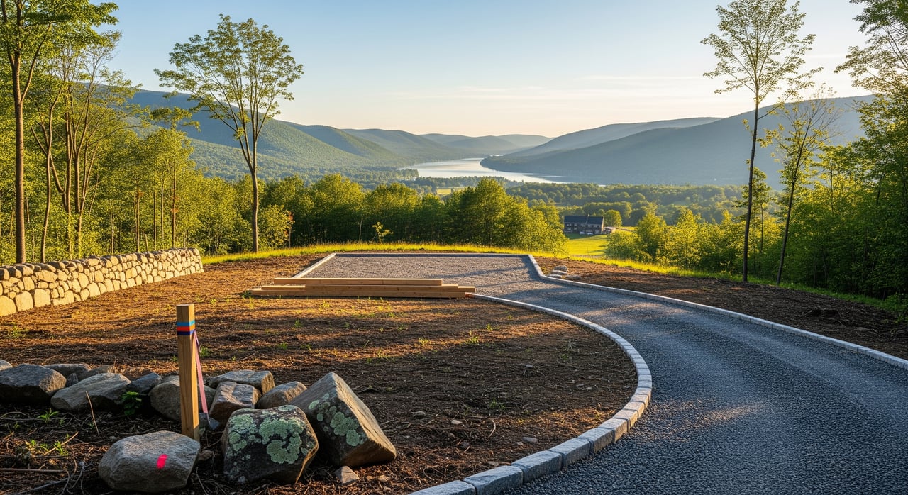
Due diligence checklist for Upper Valley land
Before you make an offer
- Pull the parcel tax map, deed, and any existing survey.
- Confirm the zoning district and read the bylaws. Note minimum lot size, allowed uses, setbacks, frontage, and any overlay zones.
- Screen for wetlands, streams, and floodplains using available mapping tools.
- Verify road frontage and road class. Ask if the road is plowed year-round.
- Call the Zoning Administrator or DRB to confirm your intended use and ask about likely permits or variances.
- Ask the road commissioner or selectboard about driveway permit requirements and common standards like culvert size and sight distance.
- Contact likely electric and internet providers to check availability and request line-extension quotes if needed.
- Start a title review to confirm legal access and identify easements, rights-of-way, covenants, or conservation restrictions.
After your offer is accepted
- Hire a licensed surveyor to confirm boundaries and produce a stamped survey if needed.
- Order a soils and site evaluation with perc tests from a licensed designer to confirm septic feasibility and likely system type and cost.
- Have a licensed well driller evaluate the site or review nearby well records; test any existing well for quality.
- If mapping shows wetlands or watercourses, schedule a wetland scientist for formal delineation and setback guidance.
- Get a driveway feasibility review from an engineer or experienced contractor. Confirm whether a VTrans permit is required for access to a state highway.
- Ask the town if subdivision review or Act 250 is likely for your plans. If you are near Act 250 thresholds, consult the Natural Resources Board or regional planning commission.
- If using shared infrastructure such as a private road, shared well, or shared driveway, obtain recorded maintenance agreements.
Final steps before closing or early ownership
- Confirm required permits and expected timelines for your build and septic.
- Obtain written utility quotes for service and line extensions, including any needed easements.
- If you plan significant clearing or earthwork, verify stormwater and erosion control requirements and protections for wetlands and uplands.
- If you intend to subdivide or sell lots later, have a land-use attorney or planner review Act 250 thresholds and costs.
Typical timelines in Thetford projects
- Zoning and basic land-use checks: days to weeks.
- Septic perc and site evaluation: several weeks for scheduling and testing; engineered designs and permits can take several weeks to months.
- Wetland delineation: a few weeks for fieldwork and reporting, weather permitting. Additional permitting adds time.
- Driveway permits: town permits often take a few weeks; VTrans permits can take longer, sometimes months, depending on complexity.
- Utility line-extension quotes and build-out: weeks for quotes; months for construction, depending on distance and schedules.
- Act 250 review if required: months and sometimes up to a year for complex projects. Initial jurisdictional guidance can be faster.
When to bring in local experts
- Zoning Administrator or Town Planner: Immediately. Ask allowed-use and permit questions and whether a pre-application DRB meeting is smart.
- Licensed land surveyor: Early. Confirm boundaries, identify encroachments, and prepare needed survey work for permits.
- Licensed septic designer or soil scientist: Early. Septic feasibility drives site layout and costs.
- Licensed well driller or hydrogeologist: Early. Groundwater depth, yield, and water quality are site-specific.
- Wetland scientist: If mapping or site conditions suggest wetlands or streams. A formal delineation defines buildable areas.
- Driveway contractor or civil engineer: Early. Access design, grading, culvert sizing, and erosion control affect budget and approvals.
- Utility company contacts: Early. Get written quotes, timing, and easement requirements; ask if underground service is required.
- Land-use attorney or consultant: If your plans are complex or may trigger Act 250, subdivision review, or involve easements and HOAs.
- Real estate attorney or title company: Before closing. Clear title, confirm easements, and understand deed restrictions.
Common surprises and how to avoid them
- Access costs: Long driveways, required culverts, or utility extensions can add tens of thousands of dollars. Get estimates early.
- Buildable area limits: Wetlands, streams, and floodplains often shift or shrink your layout. Use mapping for screening, but rely on field delineation to be sure.
- Frontage and legal access: Parcels without frontage on a plowed public road may depend on private easements or Class 4 roads. Confirm maintenance and plowing responsibilities and how they affect livability and insurance.
- Soils reality check: Attractive parcels can have soils that do not support a conventional septic. Always require a field evaluation.
- Future plans: Even if you plan to hold the land for recreation, learn septic, well, and access limitations now so future development is not blocked.
Ready to move forward?
If you’re weighing a parcel in Thetford or anywhere in the Upper Valley, a clear permitting plan will save you time and money. I can help you interpret zoning, structure a smart due diligence period, and coordinate the right local experts so you can buy with confidence. For practical, locally grounded guidance, reach out to Carter Auch.
FAQs
What permits do I need to build a home on raw land in Thetford?
- Expect local zoning and possibly subdivision or conditional-use review, a state on-site wastewater and potable water permit for septic, a driveway permit from the town or VTrans depending on road type, and wetlands or stream permits if your access or site work affects protected areas.
How do I know if Act 250 applies to my Upper Valley project?
- Act 250 depends on thresholds like project size, number of lots, and use; if you plan a multi-lot subdivision or larger development, consult the Natural Resources Board or regional planning commission early to confirm jurisdiction.
Who issues driveway permits in Thetford, VT?
- The town road commissioner or selectboard permits driveways on town roads, while VTrans handles access to state highways; stream or wetland crossings can add separate state or federal approvals.
What if my parcel is on a Class 4 or private road in Orange County, VT?
- Confirm recorded legal access, who maintains and plows the road, and any private road agreements; standards for driveway design still apply and access affects livability and insurance.
How long does it take to get a septic permit in Vermont?
- Plan for several weeks to schedule and complete site and perc testing, with engineered designs and final permitting taking several weeks to months depending on complexity.
Do wetlands mean I cannot build on my Upper Valley land?
- Not always; a wetland scientist can delineate exact boundaries, which may reduce or shift your buildable area, and additional permits may be required if impacts are proposed.